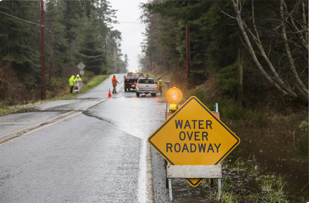
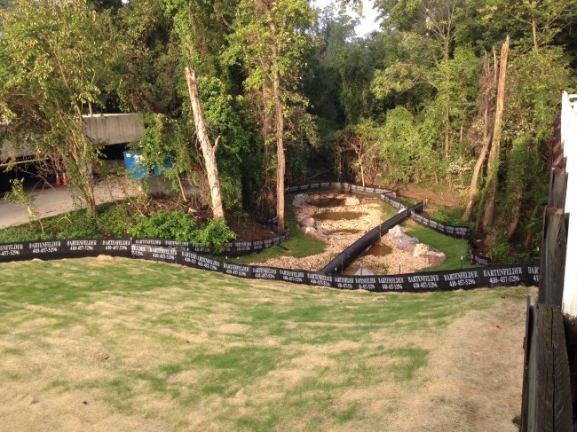
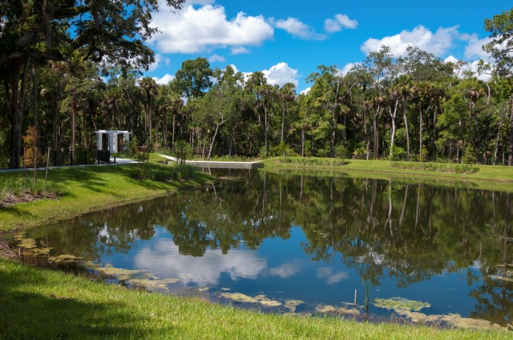
Stormwater management plays a critical role in safeguarding communities. The need for resilient systems to handle intense rainfalls is high, as outdated structures can lead to frequent and severe flooding. Stormwater management controls stormwater runoff, primarily originating from, but not limited to, impervious surfaces such as parking lots, driveways, rooftops, culverts, stormwater drains, barriers to reduce flow rate, and centralized drainage pipes. Stormwater management is important to ensure adequate drainage when acute precipitation events may occur.
Stormwater management practices consist of leveraging engineering design principles to meet state codes, local government codes, and environmental regulations at the federal, state, and local levels. Additionally, it is crucial to ensure that acute stormwater management events are handled routinely and adequately by drainage systems on public and private property. Another factor to consider is the design of the structure. Acute precipitation quantities should be based on long term data for the subject locality and the scope and resources should be appropriate to the subject property/system.
Future water demand forecasts can help predict circumstances allowing for preparation. Model projections predict stormwater design capacity inputs and stormwater design output requirements. Community water supply needs are projected relative to stormwater flows that will be managed by water systems and stormwater flows that may temporarily exceed the ideal capacity of a water system.
It is vital to perform regular maintenance and inspections to prevent debris clogging a storm water system and to maintain the integrity of systems that may be damaged or deteriorated. Our experts at CED perform these inspections by first conducting extensive research on federal regulations, state codes, and local codes and records. We also utilize unique technology that rapidly assesses and generates consistent data to analyze including 3D digital data like Matterport scans with reference datum information, terrestrial photographs of relevant features, and other practical tools that may be relevant on a case-by-case basis.
Stormwater management photogrammetry via drone is another technology that allows a topographical map of the area of interest to be developed. Topographical data can be compared with local records, code requirements, and other case facts. Furthermore, storm water management photogrammetry helps assess compliance with applicable codes and regulations, consistency of data with related case facts, and can match up photogrammetry information with public information from surrounding areas.
Understanding when a system requires maintenance or repair is crucial for averting expensive damage resulting from neglect. Our team of skilled experts possesses the requisite experience and equipment to detect routine maintenance issues, thereby preventing significant system malfunctions.
